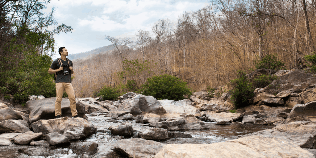
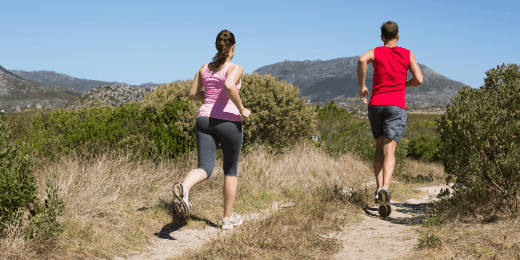
Fresh mountain air, rocky peaks, clear alpine lakes, and long dirt trails make Estes Park a perfect place for trail running. Sitting at the doorstep of Rocky Mountain National Park, this mountain town delivers the kind of scenery that makes you forget you’re climbing at altitude. One minute you’re weaving through dense forest, the next you’re staring out at jagged peaks that seem close enough to touch. The trails here are fast, wild, challenging, and ridiculously rewarding.
This guide breaks down the best Estes Park trail-running routes, what to expect in terms of elevation, and where to stay after a long day on the trails. Before you head out, here’s what’s worth knowing.
Is Estes Park Good for Trail Running?
The town is surrounded by Rocky Mountain National Park (RMNP) on multiple sides and borders Roosevelt National Forest, giving runners access to an extraordinary variety of terrain right from their doorstep. The town itself is compact and friendly, with solid infrastructure: gear shops, cafes, and accommodation options are all within easy reach.
All of it comes together to make Estes Park a true town for adventure. What also makes trail running near Estes Park special is the altitude training advantage. The town sits at 7,500 feet, which is right in the sweet spot for stimulating red blood cell production and improving how efficiently your body uses oxygen. You can also drop over 2,000 feet in elevation within 25 minutes, so mixing hard high-altitude efforts with lower, more oxygen-rich running in a single outing is genuinely possible here. That kind of variety is hard to find anywhere else.
What Is the Elevation Gain in Estes Park Trails?
This is one of the most common questions from runners planning their first visit, and rightfully so. It varies significantly depending on the route. Some trails are fairly gentle with about 500 to 1,000 feet of elevation gain, while others involve several thousand feet of steady climbing.
Because of the altitude, even moderate climbs can feel tougher than they would at lower elevations. Many runners start with flatter routes to ease into it before moving on to higher terrain in Rocky Mountain National Park.
Runners sometimes prefer Lily Lake as a gentle starting point since it has minimal elevation gain and a smooth loop. Once your legs get used to the thinner air, you can progress to steeper routes where the views open up dramatically, but the effort climbs just as fast as the elevation does.
How Altitude Affects Your Running?
In case you were wondering how difficult trail running is in the Rocky Mountain National Park, here’s the brutal truth: altitude hits harder than most first-timers expect. At elevations above 7,000 feet, the thinner atmosphere means less oxygen with each breath. Most trails in RMNP start above 7,800 feet and climb from there, and at the highest points on Trail Ridge Road, there’s about 35% less oxygen than at sea level. For runners used to coastal or low-elevation training, the adjustment can be humbling.
Headaches, fatigue, and shortness of breath are common in the first couple of days. The key is not to fight it but to slow down, drink more water than you think you need, and increase your caloric intake since your body burns more energy at altitude for the same physical effort. Plan to arrive a day or two early and take it easy before jumping into your first big run. Your body will thank you.
What are the Best Trail Running Routes near Estes Park?
Lumpy Ridge Loop
Distance: 10.5 miles | Elevation Gain: ~2,620 feet | High Point: 9,140 feet
This is the crown jewel of Estes Park trail running routes for many runners in northern Colorado and beyond. The trailhead sits just off Devil’s Gulch Road, close to downtown, and since it starts just outside the park boundary, no timed entry permit is needed. The loop takes you through open meadows, sweeping descents, level single-track, and past views of the Continental Divide that will stop you in your tracks.
Cub Lake Loop
Distance: ~6 miles | Elevation: Moderate
The Cub Lake Loop is a local favorite and a solid choice for runners who want variety without committing to an all-day effort. It starts at the Cub Lake Trailhead in Moraine Park, the trail passes through aspen trees, wetland areas, and the calm waters of Cub Lake before continuing along a dirt road toward Fern Lake.
It’s a manageable run that delivers a strong mix of terrain and scenery, and the Moraine Park area is especially accessible during winter and spring because much of it is exposed, allowing the snow to melt faster than on shaded routes.
Lily Lake Loop
Distance: ~1 mile (easily extended) | Elevation: Low
Think of this as your warm-up run before you get used to the elevation. Lily Lake is located about 6.3 miles south of Estes Park along Highway 7 and features a short, easy gravel loop with stunning views of Longs Peak. The path is gentle enough for anyone to enjoy, but the scenery is elite. Do multiple laps to build mileage, and try to avoid the busiest morning hours when hikers fill the parking area.
Wild Basin Trailhead Route
Distance: 5.3 miles out and back | Elevation: Moderate
This route starts at the Wild Basin Trailhead. It runs alongside a rushing creek and passes several waterfalls, giving you a cooling mist on warm days. Most of the run is shaded, making it the go-to option for summer afternoons when the sun is relentless at higher elevations. It’s a lovely, rhythmic run that feels like the trail is pulling you forward the whole way.
Gem Lake via Lumpy Ridge
Distance: ~8 to 10 miles (loop) | Elevation Gain: ~830 meters
The Gem Lake trail takes runners past unique rock formations and ends with wide views of Estes Park and the nearby mountains. It starts just outside the park, so you don’t need a permit to access it.
The climb to the lake is real, but the views from up top are the kind you describe to people back home for weeks. That’s also a big reason people ask, “Is Estes Park good for trail running?” Because trails like this make the answer pretty clear.
Deer Mountain Trail
Distance: ~6 miles round trip | High Point: ~10,013 feet
Deer Mountain Trail is on the edge of Rocky Mountain National Park and can be reached from the Deer Mountain Trailhead off Trail Ridge Road. It starts in a valley, then climbs through a steep forested area before opening up to wide views that stretch far past the park.
It’s a fantastic winter and early-spring run, when many of the higher-alpine routes are still buried in snow. The relatively modest summit (by Colorado standards) can be quite rewarding.
Can Beginners Do Trail Running in Estes Park?
This is one of the things that makes the area genuinely inclusive. The trail network here isn’t just for elite mountain runners. Beginners also have many options here.
Lily Lake is the classic starting point, a short, flat-ish loop with big views and no technical demands. The Alberta Falls trail from the Glacier Gorge Junction Trailhead is another excellent beginner-friendly option. It covers a scenic route to a beautiful waterfall with views of the surrounding peaks along the way. The Lake Estes path, a 3.8-mile loop circling the reservoir, features fitness stations and panoramic views of the park, is mostly paved, and is suitable for all skill levels. Together, these routes show just how varied trail running near Estes Park can be.
For beginners, a few practical tips go a long way. First, slow down more than you think necessary. Altitude makes everything about 20% to 30% harder than at sea level. Second, hydrate constantly, not just when you feel thirsty. Third, use hiking poles if you need them; there’s no rule against it, and they genuinely help on steep sections. Finally, tell someone your route and expected return time. Mountain weather shifts quickly, and a plan is always worth having.
Essential Gear for Running at Altitude
- Footwear: Trail shoes with a solid grip are very important for the run. Rocky and rooted terrain doesn’t forgive road trainers. In winter or early spring, use ice spikes to help you grip slippery, frozen sections.
- Layers: Mountain weather changes fast. A lightweight packable jacket, moisture-wicking base layer, and sun protection are non-negotiable. Even in summer, temperatures at elevation can drop sharply in the afternoon.
- Navigation: Download offline maps before heading out. Cell service is unreliable on many RMNP trails. AllTrails, Komoot, and the NPS app all offer downloadable route maps.
- Water and Nutrition: Carry more than you think you need. Altitude increases your metabolic rate, which means you burn through fuel faster. Pack calorie-dense snacks and a hydration vest or handheld bottle.
- Sun Protection: At high elevation, UV exposure is significantly stronger. Sunscreen, sunglasses, and a hat are practical necessities, not optional extras.
Conclusion
Estes Park is one of those cool places where the running itself almost becomes secondary to the experience of being there. The views, the elevation, the variety of terrain, and the genuine sense of adventure that comes with every run make this a destination that stays with you long after you’ve returned home. Plan, be mindful of the altitude, pick your routes carefully, and make time to enjoy the views.
Estes Park rewards runners who come prepared and patient. For a comfortable place to stay, we offer a cozy base right in town. Book a room in Kokopelli Inn and enjoy easy access to the trails, so you can focus on your runs and recovery while everything you need is close by.